

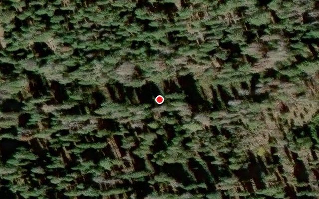
$849,000 Closed
6290 Lark Drive
Tahoma, CA 96142
SOLD 2026-05-29
Sold for $800,000 (listed at $849,000)
3 Beds
·
1.0 Baths
·
1,096 Sq Ft

Own this home or one nearby?

What's this home worth today?

It sold for $800,000 on 2026-05-29, and prices have moved since. Three boxes: leave your number and Murat calls you with what it would sell for today, priced from the latest closed sales nearby.

Priced by a local broker from real closed MLS sales near you. Free, no obligation.

Looking to buy instead? See similar homes for sale nearby ↓

Get homes like this by email

When a home like this lists in Tahoma at a similar price and size, we email you the same day. No account needed.

About This Property

Sold off market. Seller brought buyer.

Listed by Michael Marrone — Wells and Bennett

Listing Details

Status Closed
MLS # 20261048
Sold Date 2026-05-29
Sold Price $800,000
Price/Sq Ft $775

Property History

Jun 02, 2026
Listed for sale
$849,000
Current
Sold
$800,000
Property Overview
Beds 3
Baths 1.0
Sq. Ft. 1,096
Year Built 1960
Property Type Single Family Residence
Style Mountain
Subdivision Westshore LK TH
County Placer
STR Jurisdiction El Dorado County
APN 098082006000
Parking
Parking Features None
Exterior & Lot
Lot Features Street
Construction Frame
Roof Composition
Utilities & Systems
Heating Natural Gas

STR Investment Summary — 6290 Lark Drive, Tahoma

No revenue projection. Short-term rental permits are not currently obtainable here — the local jurisdiction has reached its permit cap or is waitlisting all new applications.
Structural Score: 37 / 100 (Standard) · STR Zone: Red

Land Coverage (TRPA)

Tahoe Regional Planning Agency impervious-coverage budget for this parcel

Room to build
1,140 sq ft covered of 2,717 sq ft allowed
1,577 sq ft of coverage still available to add.
Parcel Size
10,870 sq ft
Allowed Coverage
2,717 sq ft · 25%
Existing Coverage
1,140 sq ft · 10%
Addable Coverage
1,577 sq ft

TRPA caps how much of each Tahoe Basin parcel can be covered by impervious surfaces — buildings, driveways, decks. Estimated coverage — data: TRPA GIS / Tahoe Open Data. The only authoritative determination of coverage and land capability is a Land Capability Verification through TRPA; actual allowable coverage can differ due to verifications, transfers, banked coverage, or deed restrictions.

TRPA parcel fact sheet ↗ How the Basin compares
Request a Tour

We'll contact you soon.

R
Real Estate Tahoe
Real Estate Agent

Send a Message